Earthquake-induced Salcito landslide
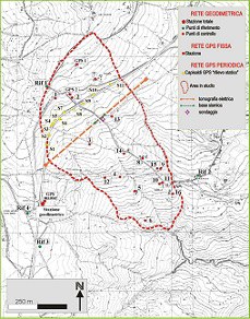
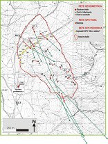
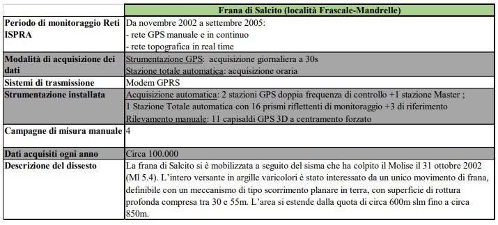
Seismically induced landslide of Salcito (CB): planimetry of the landslide and distribution of the monitoring networks installed by ISPRA
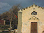
Overview of the slope
|
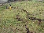
Fractures detected inside the landslide body |
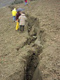
Fracture on the eastern side of the landslide body |
Topographic network with total station: reference point Ref 2 |
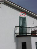
Topographic network with total station: Control point n°9 |
|
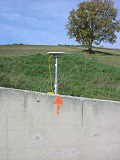
Periodic GPS network: Point S1
|
Periodic GPS network: Point S5 |
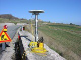
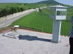
Fixed GPS network: GPS point1 |
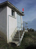
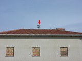
Automatic Total Station |
|
Detail of Automatic Total Station and GPS Master Station |
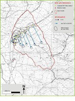
Periodic GPS network: displacement vectors and relative error ellipses for the period 15/05-30/07/2003 |
Fixed monitoring network: displacement vectors for the period January-February 2003 |
|
Update: June 2021

