Savuto landslide
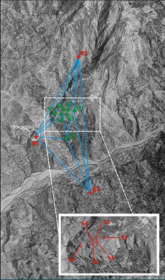
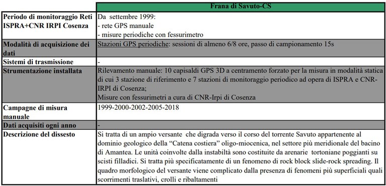
Aerial view of landslide slope and monitoring network installed by ISPRA: Rn - Reference GPS station; Sn - Survey-style Gps Station
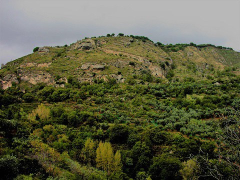
Overview of the slope
|
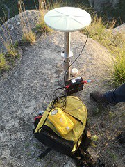
Survey-style Gps Station S2 in Cozzo Inostra Ridge |
Survey-style Gps Station S1 in Cozzo Inostra Ridge |
Detail of the Survey-style Gps Station S5 |
|
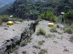
Fracture monitoring by CNR-IRPI of Cosenza in Cozzo Inostra Ridge; on the left you may notice the GPS point S6 |
GPS control point R1 in the Cleto zone (Savuto) |
Survey-style Gps Stations straddling the vertical fracture of a slope block in Cozzo Inostra Ridge: GPS S6 (on the left) and GPS S4 (on the right) |
Update: March 28th 2022

